


AMSTERDAM & SEATTLE--()--GE Aviation today announced its agreement with GeoEye to provide the aviation industry with ICAO-compliant terrain and obstacle aeronautical data derived from GeoEye’s high resolution Earth imagery. GE is showcasing this technology at ATC Global this week in Amsterdam.
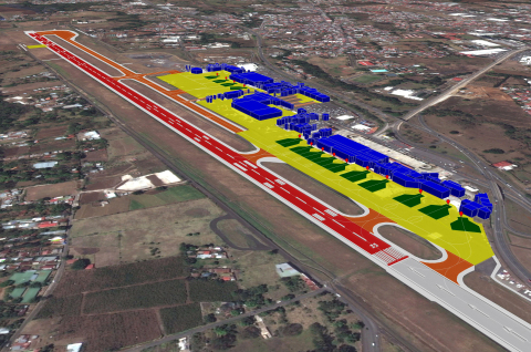
As the first offering under this agreement, GE will provide ICAO Annex 15 Area-2 terrain and obstacle databases to support the development of new Performance-based Navigation (PBN) flight paths around the world. This digital, highly detailed terrain and obstacle mapping, collected by some of the world’s highest-resolution commercial earth-imaging satellites, will support the world's airport, airlines and aviation authorities as they move to adopt PBN.
“This advanced aeronautical data, along with our Required Navigation Performance (RNP) products, will accelerate the deployment of RNP flight paths that will help meet the global challenge of increasing efficiency in the world's air traffic management system,” said Giovanni Spitale, general manager of GE’s PBN Services. “It will allow the benefits of PBN to be achieved earlier for the global air transportation community - saving time, fuel, reducing emissions and noise while increasing hourly operations frequency and maintaining safety.”
Additional GE Aviation offerings under the agreement will support advanced terrain and obstacle visualization, surface guidance through airport mapping databases (AMDB), pilot simulator training and flight operations quality assurance (FOQA) replay. Avionics providers, airlines, and ANSPs will benefit from access to accurate and current real world views of critical topography, obstacles and airport details.
“Over the next decade, we will eventually provide this aeronautical data for hundreds of airports in the world,” continued Spitale. “This will become the reference geospatial database for the aviation community.”
GeoEye is a leading source of geospatial information and insight for decision makers and analysts, who need a clear understanding of our changing world to protect lives, manage risk and optimize resources. Each day, organizations in defense and intelligence, public safety, critical infrastructure, energy and online media rely on GeoEye's imagery, tools and expertise to support important missions around the globe. Widely recognized as a pioneer in high-resolution satellite imagery, GeoEye has evolved into a complete provider of geospatial intelligence solutions. GeoEye's ability to collect, process and analyze massive amounts of geospatial data allows customers to quickly see precise changes on the ground and anticipate where events may occur in the future. GeoEye is a public company listed on NASDAQ as GEOY and is headquartered in Herndon, Virginia with more than 700 employees worldwide. Learn more at www.geoeye.com.
GE Aviation develops and implements technologies that provide significant economic and environmental benefits to airlines, airports and the communities they serve. GE Aviation is a world leader in the design and deployment of Performance-based Navigation and is working with aircraft operators and air traffic management providers in China, South and Central America, the United States, Australia, New Zealand, Canada and Europe to implement PBN solutions. Its RNP Services is an ecomagination qualified product.
GE Aviation, an operating unit of GE (NYSE: GE), is a world-leading provider of jet and turboprop engines, components and integrated systems for commercial, military, business and general aviation aircraft and has a global service network to support these offerings. GE Aviation recorded revenues of $18.8 billion in 2011. For more information, visit us at www.ge.com/aviation. Follow GE on Twitter at http://twitter.com/GEAviation and YouTube at http://www.youtube.com/user/GEAviation.
GE (NYSE: GE) works on things that matter. The best people and the best technologies taking on the toughest challenges. Finding solutions in energy, health and home, transportation and finance. Building, powering, moving and curing the world. Not just imagining. Doing. GE works. For more information, visit the company's website at www.ge.com
Photos/Multimedia Gallery Available: http://www.businesswire.com/cgi-bin/mmg.cgi?eid=50191081&lang=en