


EXTON, Pa.--(BUSINESS WIRE)--Bentley Systems, Incorporated (Nasdaq:BSY), the infrastructure engineering software company, today announced that its Seequent business unit has acquired Denver-based Advanced Resources and Risk Technology, LLC (AR2Tech), a developer of geostatistical software applications. The acquisition provides Seequent with state-of-the-art geostatistics algorithms, technology, and IP for complex geospatial problem solving, complementing its geological modeling solutions and workflows, to help solve earth, environmental, and resources challenges.
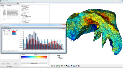
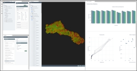
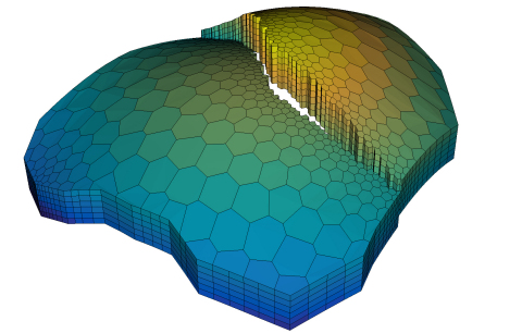
AR2Tech represents a new generation of geostatistics and spatial data analysis solutions for mining, environmental sciences, and energy. Its state-of-the-art, high-performance algorithms and workflows for cloud and desktop enable users to create and optimize a diverse set of models, even with millions of cells, without performance bottlenecks. AR2Tech’s algorithm library can be applied to a wide range of geostatistical modeling and data science methods, supporting functions that are data-centric and rely on machine learning. Solutions can be used stand alone or integrated with other software, including Seequent’s Leapfrog 3D geological modeling solutions.
Mining companies use AR2Tech’s solutions for geostatistical modeling for conditional simulation and estimation models of complex orebodies, with algorithms customized for specific deposits. Environmental sciences professionals use customized workflows for data management, spatial evaluation, and risk assessment, designed for applications including stochastic simulation of the subsurface for water modeling, sampling evaluation and strategy, integration of remote sensing data in the geostatistical model, and characterization of pollutants.
Graham Grant, chief executive officer of Seequent, said, “We’re delighted to welcome to Seequent the elite and talented AR2Tech team in Denver and Brazil. AR2Tech’s technology stack and world-leading expertise in geostatistics, geomodeling, and spatial data integration strengthen Seequent’s capabilities in these areas. The acquisition will help accelerate our development of new geostatistics solutions and create seamless end-to-end workflows with Seequent’s advanced modeling solutions. We’re excited to make this investment for our mining, environmental, civil, and energy users to take geomodeling to the next level.”
AR2Tech founder Dr. Alexandre Boucher said, “We’re proud to be joining Seequent and sharing our cloud-first approach to solving geosciences challenges. With Seequent, we will realize our goal of bringing the next generation of geostatistical algorithms to the geomodeling community. We have developed and optimized algorithms for geomodeling for over a decade, including conditional simulations for risk and uncertainty studies. Combining forces with Seequent, we can create new practical and accessible solutions for geoscience professionals.”
For more information, please visit https://www.ar2tech.com/.
##
About Seequent
Seequent, a Bentley company, is a world leader in the development of powerful geoscience analysis, modeling, and collaborative technologies for understanding geoscience and engineering design solutions. Our solutions enable people to analyze complex data, manage risk, and ultimately make better decisions about earth, environment, and energy challenges.
Seequent software is used on large-scale projects globally, including road and rail tunnel construction, groundwater detection and management, geothermal exploration, subsea infrastructure mapping, resource evaluation, and subterranean storage of spent nuclear fuel.
Seequent’s global footprint includes its Christchurch-based HQ and R&D centers in Christchurch and Canada with a network of offices across Asia/Pacific, Africa, South America, North America, and Europe, servicing organizations with leading subsurface solutions in over 100 countries. For more information, please visit www.seequent.com or follow Seequent on LinkedIn or Twitter.
About Bentley Systems
Bentley Systems (Nasdaq:BSY) is the infrastructure engineering software company. We provide innovative software to advance the world’s infrastructure – sustaining both the global economy and environment. Our industry-leading software solutions are used by professionals, and organizations of every size, for the design, construction, and operations of roads and bridges, rail and transit, water and wastewater, public works and utilities, buildings and campuses, mining, and industrial facilities. Our offerings include MicroStation-based applications for modeling and simulation, ProjectWise for project delivery, AssetWise for asset and network performance, Seequent’s leading geosciences software portfolio, and the iTwin platform for infrastructure digital twins. Bentley Systems employs more than 4,000 colleagues and generates annual revenues of more than $800 million in 172 countries.
© 2021 Bentley Systems, Incorporated. Bentley, the Bentley logo, AssetWise, iTwin, Leapfrog, MicroStation, ProjectWise, Seequent, and the Seequent logo are either registered or unregistered trademarks or service marks of Bentley Systems, Incorporated or one of its direct or indirect wholly owned subsidiaries.